
Walk a Plainview Street Through Records
For a named Plainview street, begin with the physical address rather than a person’s name. Hale CAD supplies the parcel-side starting point, and the City of Plainview map can help place that parcel on the street grid. The next question is ownership, not residency. A CAD owner name can be tested in the Hale County Clerk’s recorded-document process, while historic address-to-occupant work belongs at Unger Memorial Library. Texas My Voter is a person lookup using name, county, date of birth, and ZIP, so it cannot be used as a public street roster.
- Search the address in Hale County Appraisal District Property Search. Save the selected tax year, situs address, property or geographic ID, legal description, owner field, and mailing field.
- Open the City of Plainview Interactive Map, accept its disclaimer, and use the street grid and parcel context to compare the location. The live map’s exact search controls were not verified.
- Take the parcel or legal identifier back to the CAD card. That identifier is a stronger bridge than a street spelling when a road name, suffix, or number differs between records.
- Ask the Hale County Clerk for the recorded-document route using the current owner as grantee, then compare deed legal descriptions, dates, and instrument references.
- For an older household, visit Unger’s local-history desk for city, telephone, and criss-cross directory referral, then pair the address with newspaper or census evidence.
Keep the original street string, including direction, suffix, unit, and ZIP. Search variants are useful, but the source spelling helps reconcile a later result.
Plainview Street Address Keys
A Plainview address has three useful identities. The situs is the physical location shown by CAD, GIS, and city permit material. The mailing address is the owner’s correspondence destination. The legal description identifies the tract in deeds and plats. The Hale CAD sample card makes the distinction tangible: its Plainview situs is 101 Pecos Place, while its mailing address is in Austin. That contrast is a warning against treating a tax mailing field as a list of people on a Plainview street.
- Parcel or geographic ID
- A CAD identifier for a mapped property. It is a practical bridge from a map to a property card and deed inquiry, not a universal county numbering pattern.
- Situs address
- The physical parcel location used in appraisal, mapping, and city records. It is the first address to compare when walking a street.
- Plat
- A recorded layout that can show lots, blocks, rights-of-way, easements, and dedications. It helps preserve identity when an old number is hard to match.
- Criss-cross directory
- An address-to-occupant directory format. Unger confirms this research category, but its exact titles and years were not located.
Plainview’s zoning map shows numbered east-west streets and named north-south streets such as Broadway and Austin. Quadrant notation also appears in city address materials. The research did not verify a formal numbering origin or a city renumbering project, so old and new numbers should be compared through the lot, block, subdivision, legal description, parcel ID, Sanborn sheet, and dated newspaper reference.
Note: A Plainview mailing label or a CAD mailing field can describe delivery or correspondence, not municipal jurisdiction or current residence.
Search Hale CAD by Plainview Street
The public Hale County Appraisal District Property Search has By Owner, ARB Search, and Advanced modes. Its guidance says a street-name search should omit prefixes, suffixes, and unit numbers. Enter the street name alone when looking across a street, then narrow with a number, tax year, subdivision, neighborhood, or an identifier. The public card opens without a paid account; the separate taxpayer portal requires owner ID and e-file PIN for its account functions. A card is an appraisal display and deed-history aid, not a certified title search or evidence of a present occupant.
| Hale CAD field | Input | Street-search use |
|---|---|---|
| Owner Name | Optional text | Use Last Name First Name, or try a partial or one-name variant after an address produces an owner. |
| Street Number | Optional text | Use the number portion to narrow an address query; omit it when testing a street name. |
| Street Name | Optional text | Enter the name only, without prefix, suffix, or unit, following the portal’s instruction. |
| Property ID / Geographic ID | Optional text | Use the stable identifier copied from GIS, the CAD card, or a deed inquiry. |
| Legal description | Text or list components | Use abstract, subdivision, condo, lot, or block clues when the street address does not match. |
| Tax Year / Neighborhood | Dropdown or autocomplete | Select a historical or current card and group nearby parcels without claiming a street-wide resident list. |
A sample CAD card can include property and geographic IDs, owner and mailing address, situs, map ID, legal description, subdivision, neighborhood, zoning, improvements, taxing jurisdictions, value history, deed-history rows, and tax data. The sample’s history reaches 2018 through 2024 in the selected view and has later 2026 deed rows, but no district-wide starting year was stated.
Plainview GIS Along Each Street
The city map is the visual companion to Plainview address research. Use it to orient a street, inspect parcel geometry, and compare zoning, district, or flood context before checking the CAD card. The map launch page says the display is for convenience and internal use and does not warrant completeness, accuracy, or currency. Its live identify panel, parcel-search label, and layer controls were not captured during research, so treat the map as a locator and verify parcel facts with CAD or the appropriate city office.
The Plainview Interactive Map launch page is shown below because it is the official entry point to the city’s GIS viewer and disclaimer.
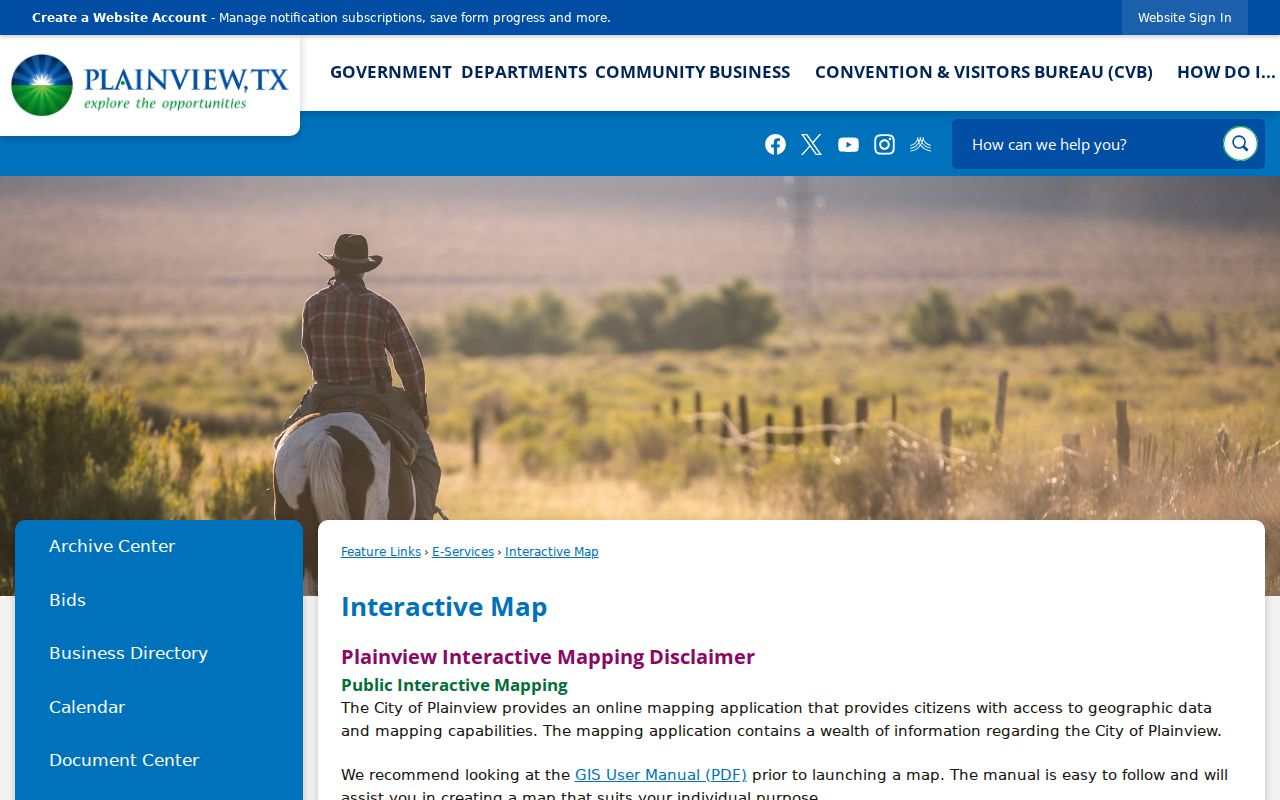
Use the launch page to reach the live map, then record the map date and parcel identifier before comparing a result with Hale CAD.
The separate Plainview zoning map shows parcel and street-grid context with categories ranging from rural or agricultural through downtown and industrial areas. Zoning can explain a parcel’s context, but it does not name everyone connected to an address.
Plainview Address Records by Street
Different Plainview offices answer different address questions. A property card ties an address to an appraisal record. A recorded deed ties parties to a legal description and a recording event. City permit material can date a project. The voter route has defined public and confidential fields, but the public My Voter form is person-first. Historical directories are address-oriented only through Unger’s in-person research route. Read the records as separate dated relationships rather than merging them into a claim about a whole street.
| Address record | Custodian | Street evidence | Access route |
|---|---|---|---|
| CAD parcel card | Hale County Appraisal District | Owner and mailing fields, situs, IDs, legal description, values, taxing jurisdictions, and deed-history aid. | Public online card; check the selected year and portal terms. |
| GIS parcel map | City of Plainview | Parcel geometry, streets, zoning, and district or flood context. | Interactive map and manual; live controls were not verified. |
| Recorded deed or plat | Hale County Clerk | Grantor, grantee, legal description, record date, instrument or book-page reference. | Clerk counter, copy request, or TPIA request for existing non-exempt records. |
| Foreclosure notice | Hale County | Sale date, legal-property clues, and trustee information. | Monthly web notices; verify the legal record with the clerk. |
| Permit or certificate record | Plainview Community Development | Project address, legal description, property ID, owner or applicant, work, value, and inspection-related details. | Specific city file request; no public online search was located. |
| Historical directory | Unger Memorial Library | Potential address-to-occupant, telephone, and year context. | In person; exact runs and titles were not located. |
Parcel and legal identifiers connect the rows. A street name connects them only when the spelling and numbering remain consistent, which is why it should be preserved exactly in research notes.
Deeds Along a Plainview Street
Hale CAD’s deed-history table is useful for finding a transaction clue. Its sample rows include deed date, type or description, grantor, grantee, volume, page, and number. Those rows do not guarantee a linked clerk image, and the research did not locate an official public Hale County deed-index URL or a verified online cutoff. Use the card to form a specific request, then ask the County Clerk for a grantor, grantee, or legal-description search and whether a plain or certified copy is available.
The Hale County Clerk page is the authoritative fallback because it identifies the office that handles recording functions, records searches, probate, and related county records.
Bring the parcel’s legal description, likely recording date, names, and any instrument or volume-and-page reference to make a clerk request more specific.
When a street number fails, search by lot, block, subdivision, or legal description. A deed chain follows the current owner as grantee to a purchase document, then uses the seller as grantee in an earlier transaction. Deeds with more than one tract require matching the exact description instead of assuming every listed parcel belongs to the address at hand.
Plainview Street Permits and Codes
City Community Development records can add a dated project layer to a Plainview street search. The reviewed permit application calls for project address, legal description, property ID, project and work type, owner or applicant, contractor, description, area, and valuation. A permit or certificate of occupancy can help establish a construction or remodel window. It does not establish a household list, and a public searchable permit or code index was not located.
The Plainview Community Services page is the captured city entry point for permit, code, zoning, and related staff information.
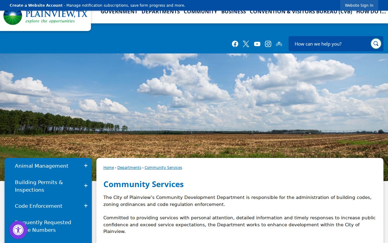
Use the address, legal description, or property ID in a focused records request, and ask the city what archive years or certificates are available for that location.
Note: Permit forms and a department page do not prove that an online street search exists for older city files.
Voters Are Not a Street List
VoteTexas My Voter Portal asks for name, county, date of birth, and ZIP to return registration, polling-place, and election information. It is not a browse tool for everyone on a Plainview street. A full voter-file request is governed by Texas election rules, includes an affidavit and a $75 deposit, and remains subject to protected-address and use restrictions. The research did not verify any unrestricted web street roster.
Texas Election Code provisions protect Social Security numbers, Texas driver-license or DPS identifiers, phone numbers, and protected addresses. The Texas Address Confidentiality Program and qualifying voter protections also limit ordinary disclosure. A returned registration result should not be used to infer an entire household.
Plainview Street History at Unger
Unger Memorial Library’s local-history information sheet confirms back issues of local telephone and city directories, census microfilm, yearbooks, newspapers, and microfilm equipment. It specifically says staff will not provide city-directory or criss-cross information by phone. Bring a street, an approximate year, and alternate spellings to the front desk. The exact criss-cross titles, publishers, and years remain a research gap, so do not treat a missing web result as proof that an address has no history.
The Plainview Daily Herald reaches back to 1908 on Unger microfilm. Texas Tech’s Southwest Collection separately lists Daily Herald reels for 1930 through 1986 and Evening Herald references for 1917 and 1919 through 1958; some reels are in a cold vault and should be requested in advance. Newspapers can supply a date, notice, or address clue to test against a directory and census record. They are not substitutes for a deed or a live occupancy record.
For the library-held collections themselves, use the Plainview Directory Book after the address chain identifies the decade and street spelling to investigate.
Plats Stabilize Plainview Street Searches
The city’s plat guidance describes lots, rights-of-way, easements, building lines, and dedications. Texas Local Government Code chapter 212 applies when land is divided into two or more parcels or a thoroughfare is identified. That lot-and-block layer is often the better historical anchor when a street address is abbreviated differently or a directory number cannot be reconciled at first glance.
Plainview is the Hale County seat, but a Plainview mailing label is not proof that a parcel lies within city limits. Compare the CAD situs city, map placement, zoning or plat layer, and taxing jurisdictions. The CAD sample identifies Hale County, Farm to Market, Plainview ISD, the City of Plainview, and High Plains Water District. Those labels provide geographic context without deciding a boundary question by themselves.
Plainview Street Search Limits
A Plainview address search can connect an address to public ownership, appraisal, recorded-document, project, or historical-directory evidence. It cannot reliably reveal every household member, non-owner occupant, utility customer, delivery recipient, protected voter, or DMV address. The owner on a tax card may live elsewhere, and a historic directory entry is dated evidence rather than a present statement. Sealed, juvenile, confidential, and protected-address records remain outside an ordinary address search.
Lawful use. Use Plainview address records for personal history, genealogy, estate questions, civic transparency, or property research. Do not use them to stalk, harass, threaten, or expose a protected person; Texas Penal Code §42.072 addresses stalking, and protected-address rules still apply.
Plainview Street Geography Check
Plainview’s 79072 and 79073 postal labels are delivery geography, not proven city-limit polygons. Before treating a street result as a city parcel, run the full address through USPS ZIP Code Lookup, then compare the returned postal label with the CAD situs, city GIS placement, zoning or plat context, and taxing jurisdictions. The research did not locate a formal Plainview ZIP-boundary polygon, annexation map, or readdressing history.
That gap matters most near the city edge. Record a result as a delivery-area address until an official city or county boundary source resolves it. The same careful approach prevents an address search from turning a postal label into a claim about jurisdiction, ownership, or residence.