
Plainview Neighbors Block Sources
Public sources answer different block questions. The City of Plainview map supplies geometry and context. Hale County Appraisal District Property Search supplies a parcel card. Hale County Clerk records can resolve recorded instruments when an address-only trail stops. A careful search for Plainview neighbors keeps the source relationship clear: ownership is not occupancy, an address is not a roster, and an old directory is not a current list.
| Source | What It Shows About a Block | Access |
|---|---|---|
| City of Plainview Interactive Map | Parcel geometry, street grid, zoning and district context, with adjacent parcels if the live map allows selection | Public launch page and GIS manual; controls were not captured |
| Hale County Appraisal District Property Search | Owner, mailing and situs fields, parcel IDs, legal description, value and deed-history aid | Public card, queried one parcel at a time |
| Hale County Clerk | Recorded grantor/grantee chain and legal-description records | Counter, request, or records search; official online cutoff not located |
| VoteTexas My Voter Portal | Person-specific registration and polling information | Individual lookup, not an unrestricted street roster |
| City permits and certificates of occupancy | Address, project, owner or contractor, and inspection evidence when releasable | File request; no public search was verified |
| Unger Memorial Library | Historical directory and criss-cross address context | In person; exact runs need shelf verification |
| Plainview Chamber community page | Civic-group and congregation contacts | Public organization layer, not a member list |
Hale County is the government layer for Plainview property and clerk records. CAD cards can include a mailing field, but that field may belong to an owner’s chosen correspondence address, an entity, or an agent. It is not a finding about who occupies a parcel. The map itself also says its display is for convenience and is not warranted complete, accurate, or current.
Plainview GIS Parcel Context
City of Plainview Interactive Map is the documented starting point for parcel geography. Its launch page requires acceptance of a disclaimer and links the GIS User Manual. The reviewed static page did not expose the live application’s internal URL, field labels, identify panel, buffer tool, or adjacent-parcel screenshot. Those missing details matter, so they should not be guessed from a different GIS system.
Use the map to locate a known street or parcel, then follow the documented live-map steps to select the parcel if that control is available. Copy the parcel or legal identifier rather than relying on a map label. The zoning map can then add context such as Rural/Agricultural, Mixed Residential, Downtown, Neighborhood Commercial, General Commercial, or industrial categories. Geographic context helps explain the block. It does not identify residents.
Note: Save the map date with a parcel observation because the City of Plainview warns that the map may not be complete or current.
Mapping Plainview Neighbor Parcels
A manual parcel-by-parcel process is the supportable way to examine the public block around a known address. The live map may permit clicking adjacent shapes, but the research did not capture an exact buffer or radius control. Move only from a known parcel to the adjoining public parcel geometry, then query each identifier separately in Hale CAD.
- Open the City of Plainview map, accept its disclaimer, and locate the known address or parcel using the live map’s documented options.
- Record the subject parcel’s map date, street spelling, parcel or legal identifier, and the visible adjoining parcel geometry.
- Enter each recorded identifier in Hale County Appraisal District Property Search and compare its situs, owner, mailing field, legal description, neighborhood, taxing jurisdictions, and selected tax year.
- When a deed question remains, ask Hale County Clerk for a grantor, grantee, or legal-description search rather than treating a CAD deed-history row as a complete title chain.
For a full named-street record chain, use the Plainview street directory. The block method stays narrower: it tests individual adjacent parcels and reports only what the relevant public record supports.
Plainview Parcel Cards Need Care
Hale CAD has a public property card and a separate account-based taxpayer portal. The public card can return a property ID, geographic ID, owner and mailing fields, situs, map ID, legal description, neighborhood, taxing jurisdictions, improvements, value history, and deed-history rows. Those fields are useful for comparing a parcel. They are not a complete title record and do not confirm that every person associated with the address lives there.
The Hale CAD taxpayer registration screen is shown below. It is a 2026 account flow that requires owner ID and e-file PIN information, separate from the public property-search card.
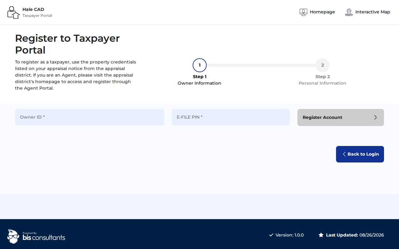
The account screen does not turn the taxpayer portal into an unrestricted Plainview neighbors index. Use the public card for its stated parcel fields, then confirm older instruments through Hale County Clerk when the record trail requires it.
Plainview Block Zoning Records
Block context also comes from lots, rights-of-way, easements, dedications, plats, permits, and public notices. Plainview plat guidance describes these elements when land is divided or a thoroughfare is identified. If an address search fails, a lot, block, subdivision, or legal description can bridge the gap between the City of Plainview map and the Hale County Clerk record trail.
Public foreclosure postings can provide sale-notice dates and legal-property clues, but they need comparison with CAD and recorded instruments. City Community Development forms can identify the kind of address-based permit or certificate record to request. No public city permit or code-case search was verified, so the documented route is a focused file request rather than a claimed web lookup.
Plainview Voter Block Limits
Texas law does not make a general neighbors list available through the web. VoteTexas My Voter Portal asks for name, county, date of birth, and ZIP. It is designed for an individual registration and polling-place check, not for browsing a street or inferring everyone at a nearby address.
Texas Election Code chapter 18 describes public voter-list fields subject to exceptions. Social Security numbers, Texas driver-license or DPS ID data, phone numbers, and protected addresses are restricted. A full voter-file request uses an SOS form, a notarized affidavit, and a $75 deposit. The form’s rules do not make it a substitute for an ordinary block census, and protected voters are not handled through the ordinary county system.
Plainview Civic Contact Layer
The local community layer is public organization contact information, not private member data. The Plainview Chamber community page names civic groups and places of worship. It can help a reader find an organization’s public route for a community question. It does not publish a roster of nearby members or show who lives on a block.
| Named Plainview civic group | Public contact route | Record boundary |
|---|---|---|
| Junior Service League | Plainview Chamber community page | Organization contact only; no membership roster was located. |
| Kiwanis | Plainview Chamber community page | Organization contact only; no membership roster was located. |
| Lions | Plainview Chamber community page | Organization contact only; no membership roster was located. |
| Rotary | Plainview Chamber community page | Organization contact only; no membership roster was located. |
| Soroptimist | Plainview Chamber community page | Organization contact only; no membership roster was located. |
Churches and civic groups can provide public meeting or contact information when they publish it themselves. They should not be used to reconstruct private household membership. A community organization may be a useful source of neighborhood context, while a parcel card and official map remain the better sources for public property relationships.
Plainview Historical Block Clues
Older records can explain a building or parcel without identifying current neighbors. Unger Memorial Library holds local directories, newspapers, census microfilm, yearbooks, and historical materials. Historical criss-cross directory work is in person, and exact local directory runs still need shelf verification. Sanborn maps and newspaper files can add a date, street form, or physical-building clue before a name is tested against another source.
Hale County’s official homepage is shown below because it is the county navigation source for Historical Commission links and office routes.
No public Hale County Historical Commission holdings page or Plainview neighborhood-association directory was located in the research. The image is an office-navigation reference, not evidence of a local block roster or a catalog of association members.
Plainview Neighbor Tool Comparison
Official and commercial sources serve different purposes. A public parcel record is tied to a government custodian and a stated field set. A commercial neighbor tool may combine property, directory, marketing, or historical material. Its result can be stale, merge similar names, or connect an address with people who are no longer associated with it. Return to the record holder when accuracy matters.
| Source category | Useful for | Limit to remember |
|---|---|---|
| Official GIS and CAD | Parcel geometry, public ownership fields, and geographic identifiers | Owner records do not establish every current occupant. |
| County clerk records | Recorded instruments and legal descriptions | Online coverage and image access were not verified. |
| Library historical sources | Dated address, newspaper, directory, and yearbook context | Historical references are not current-residence proof. |
| Commercial neighbor tools | Possible leads from compiled material | Can be incomplete, stale, or wrong; no tool is linked here. |
Texas Department of Criminal Justice’s public person-search route is a separate state system, not a block lookup.
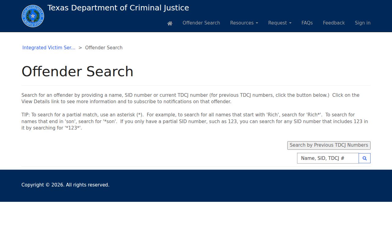
That state route should not be used to claim who lives around a Plainview address. It does not replace parcel research, local court records, or the privacy restrictions that apply to protected people.
Plainview Neighbor Privacy Limits
Household members, non-owner occupants, utility customers, delivery records, protected voters, Address Confidentiality Program participants, sealed court matters, and ordinary DMV data remain outside an ordinary public block lookup. The Texas Address Confidentiality Program covers qualifying victims through a substitute mailing address and confidential handling. Texas Public Information Act (TPIA) requests do not override a record that another law keeps confidential.
Lawful use. Use public Plainview neighbors records for personal, civic, safety, family-history, or property-context questions. Do not use them to watch, harass, intimidate, or expose any person.
Texas Penal Code sections 42.072 and 42.07 provide the anti-stalking and anti-harassment frame. When a protected address or privacy boundary appears, stop. Do not combine other sources to work around it.
Plainview Association Search Warning
No official Plainview, Texas neighborhood-association directory or umbrella council was found. Search results for “Plainview Residents Association” and Gates Ridge Civic Association were excluded because they point to Plainview, New York. Keep Texas and Hale County in each search before using an organization name or contact route.
When an association result appears, verify the city, state, public source, and the organization’s own published contact before treating it as local. A missing local association directory is a documented research gap, not a reason to import a roster from a different Plainview or make one from parcel records.